But wait there is more.
As you may know a number of government organizations publish weather forecasts based on predicted weather charts developed by meteorologists. These predictions go a long way out into the future (12 days currently) in 6 hour increments. Naturally the further out you try to predict the less accurate is the estimate.
NOAA is a biggy in the Excited States of Merica and our boys will be relying on them all the way across. You might wonder how they will access these and I'm glad you asked.
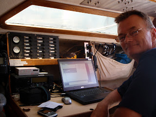
In the old days these could be received by a weather fax machine and interpreted by Dougie or Navigator on board. More lately they can be bundled into a number of 6 hour segments called GRIB files that can then be animated by compatible software. Doug has two, different, compatible softwares' to compare. It used to be that these GRIB files were sent automatically by an e-mail responder service like Saildocs and downloaded by a pactor modem connected to a Single Sideband (SSB) Receiver. Because of serious bandwidth restrictions SSB had size and online time limits.
In the modern age GRIB files are received by Iridium Satellite Phone and I am led to believe this is a marvel compared to the old way.
The now animated weather forecasts are displayed on the same chartplotter screen which also shows the GPS reported boat's position.
Having weather predictions, including wind speed and angle, onboard is helpful when trying to develop the shortest course while avoiding bad weather and calms.
No comments:
Post a Comment